


Sale!


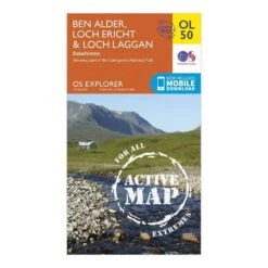


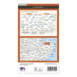
Explorer OL 50 Active D Ben Alder, Loch Ericht & Loch Laggan Map
Original price was: £9.60.£6.72Current price is: £6.72.
- Shop with confidence, we guarantee quality.
- Quality Meets Affordability
- Service that stands out, online and always timely.
- Shop with Confidence

Map sheet number OL 50 in the detailed OS Explorer Map series is the ideal companion for those looking to discover Loch Ericht, Loch Laggan and sixteen of the surrounding Munros. The new replacement for the previous OS Explorer map 393 for this area, this weatherproof active version also covers part of the Caingorms National Park and the town of Dalwhinnie.
Features
- Detailed and easy to read map from Ordnance Survey
- Scale: 1:25,000
- Covers part of the Cairngorms National Park, sixteen Munros, Loch Ericht, Loch Laggan and Dalwhinnie
- Includes mobile download of map for use on your smartphone
- Shows tourist information points, popular sites, viewpoints, places of information and rights of way information
- Recommended activity – navigation
| Choose size in stock | One Size |
|---|
Be the first to review “Explorer OL 50 Active D Ben Alder, Loch Ericht & Loch Laggan Map”
Related products
Sale!

Original price was: £9.60.£6.72Current price is: £6.72.
Sale!


Walking
Original price was: £1.50.£1.05Current price is: £1.05.
Sale!


Walking
Original price was: £3.00.£2.10Current price is: £2.10.
Sale!


Original price was: £6.00.£4.20Current price is: £4.20.
Sale!

Original price was: £6.00.£4.20Current price is: £4.20.
Sale!


Walking
Original price was: £13.50.£9.45Current price is: £9.45.
Sale!


Walking
Original price was: £89.00.£62.30Current price is: £62.30.
Sale!
Original price was: £9.60.£6.72Current price is: £6.72.
Reviews
There are no reviews yet.